

What's New
Home › Monuments › The area situated between the road to Amlajore and the river Damodar comprising plots Nos. 823, 836, 837, 841 and 872
The area situated between the road to Amlajore and the river Damodar comprising plots Nos. 823, 836, 837, 841 and 872
द एरिया सिचुएटेड बिटवीन द रोड टू अमलाजोर एंड द रिवर दामोदर कम्प्राइजिंग प्लॉट नंबर्स 823, 836, 837, 841 एंड 872
Free entry
Kalna Sub-Circle
About this monument
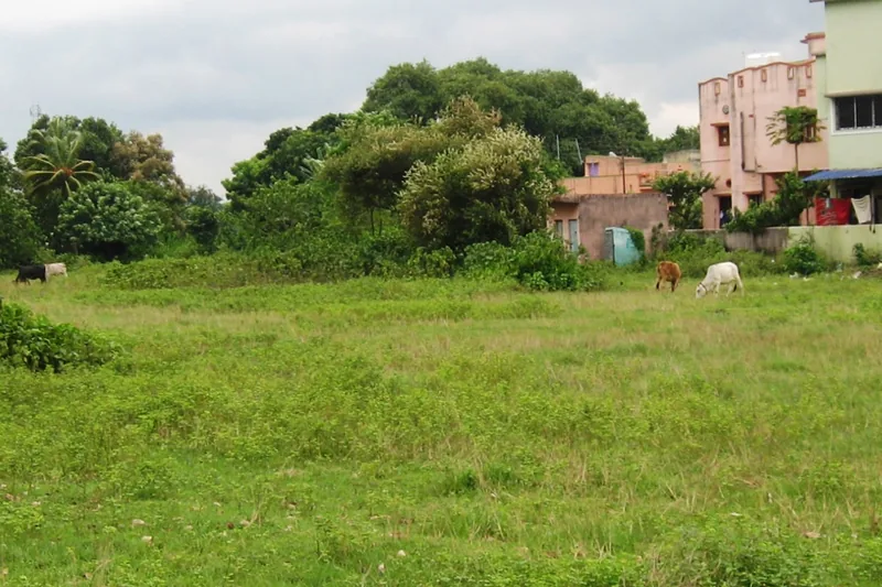
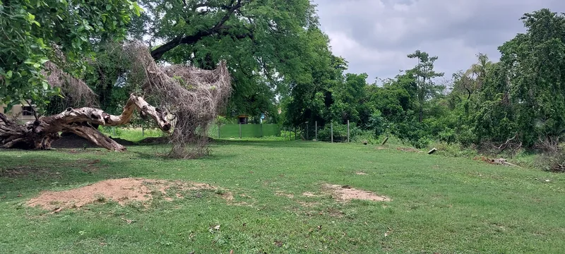
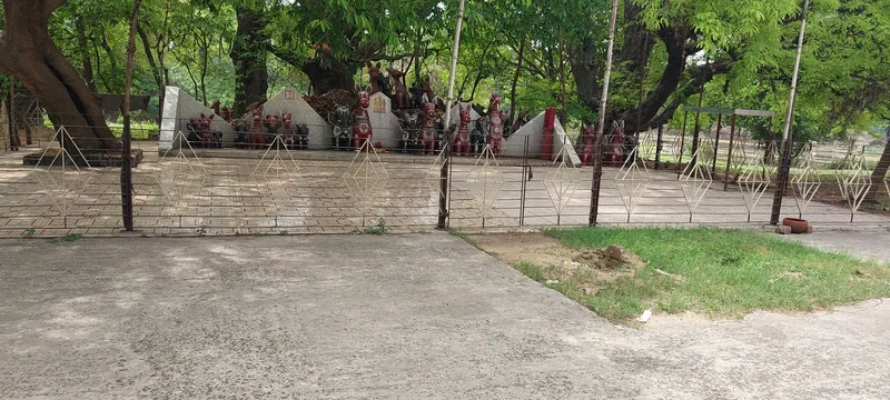
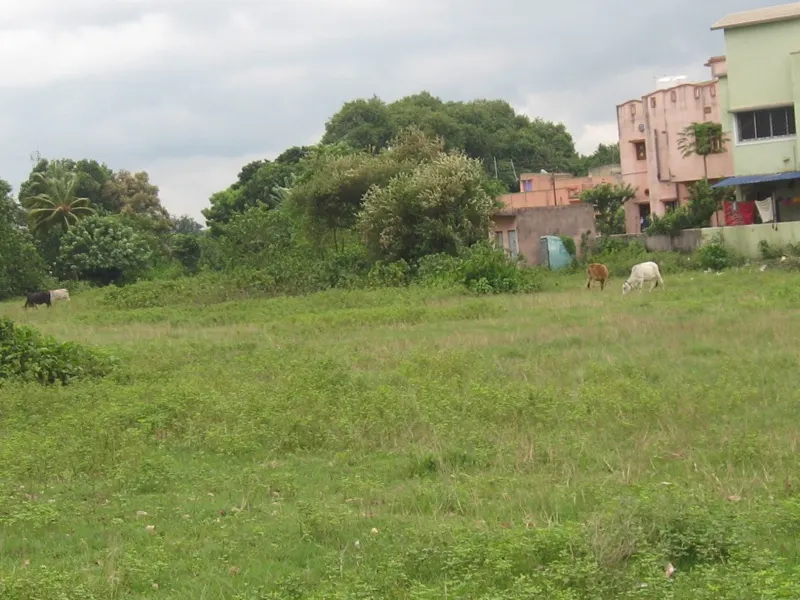
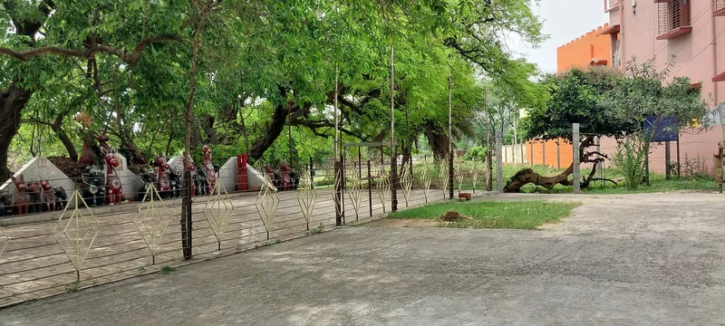
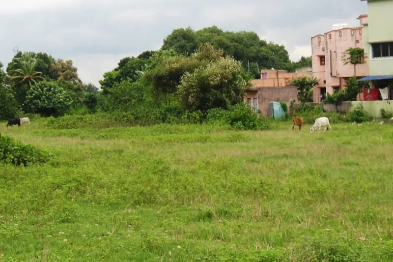
The site was excavated by local ameture archaeologist during 1938. Excavated materials include stone celts, pottery and beads of semi-precious stone. These excavated materials suggest the site to be of the Neolithic age when pottery was used by metal was not known.
Photographs
High-resolution photographs are protected — viewing only, downloading is disabled.
Visitor Amenities
Facilities available here.
- Direction Board
- Protection Notice Board (PNB)
Source: ASI Kolkata Circle — Monument Site-wise Amenities List.
- Locality
- Nadiha, Paschim Bardhaman
- Coordinates
- 23° 29′ 59″ N, 87° 19′ 05″ E
- Sub-circle
- Kalna Sub-Circle
- Category
- Protected Area
- Gazette Sl. No.
- 67
- Access
- Free entry
- Airport
- N.S.C.B.I. Airport, Dum Dum
- Railway station
- Durgapur
- Bus station
- Durgapur
Admission
This is a ticketed monument — book online via the E-Ticketing options above.